Displaying 5 out
of 11
questions & answers.
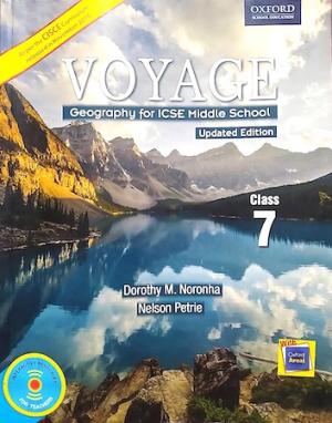
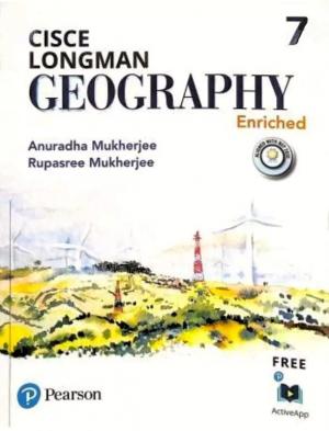
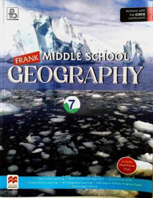
- Effective Geography Class VII
- Representation of Geographical Features
- Package valid till 31-Mar-2026Buy Package
Q1.
Fill in the blanks.
- ____________ give a complete picture of an area.
- _____________ is the ratio between the map distance and the ground distance.
- In a verbal statement, the value on the left hand side represents ________________.
- ______________ is used to measure distance along a curved line.
- ______________ colour is used on a topo-sheet to represent water bodies.
S A
M P L E
S
A M P L E
www.bigslate.com
Answer:
S A M P L E
answer not shownQ2.
Distinguish between Large Scale Maps and Small Scale Maps.
S A
M P L E
S
A M P L E
www.bigslate.com
Answer:
S A M P L E
answer not shownQ3.
Distinguish between Statement Scale and Graphic Scale.
S A
M P L E
S
A M P L E
www.bigslate.com
Answer:
S A M P L E
answer not shownQ4.
What are the topographic maps?
S A
M P L E
S
A M P L E
www.bigslate.com
Answer:
S A M P L E
answer not shownQ5.
Name three features that are shown by red and brown colours on a topographical map.
S A
M P L E
S
A M P L E
www.bigslate.com
Answer:
S A M P L E
answer not shownOther
Books

New Objective Workbook for Simplified Middle School Chemistry
Dr. Viraf J. Dalal - Allied Publishers Private Ltd.

New Simplified Middle School Chemistry
Dr. Viraf J. Dalal - Allied Publishers Private Ltd.
Chapters
- Representation of Geographical Features
- Atmosphere
- Weather and Climate
- Weathering and Soil Formation
- Industries
- Energy and Power Resources
- Europe: Location and Physical Features
- Tourism in Switzerland: A Case Study
- Africa: Location and Physical Features
- Cocoa Cultivation in Ghana: A Case Study
- Australia: Location, Physical Features and Climate
- Sheep Rearing in Australia: A Case Study
- Representation of Geographical Features


